TANGIER, VIRGINIA — A rapidly intensifying bomb cyclone is set to unleash what meteorologists are calling a potentially historic and life-threatening winter storm across the Chesapeake Bay region beginning late tonight and continuing through Sunday, with dangerous conditions persisting into next week.
Governor Spanberger declared a State of Emergency in Virginia last night as state and local officials across the region mobilize resources and prepare for the storm’s impact.
The National Weather Service warns that the simultaneous combination of heavy snow, damaging winds, and extreme cold will create life-threatening conditions outside, with the potential to strand residents for days. Officials are urging all residents to complete preparations immediately, as the storm’s peak impacts will occur late Saturday night through Sunday morning.
Emergency Response Preparations Underway
Accomack County Emergency Management and state partners have been preparing for days. Virginia Department of Emergency Management has pre-staged 10 pallets each of water and meals in Accomack County for potential mass care emergencies.
The Virginia Department of Transportation has allocated significant additional resources for the Eastern Shore, including 4 front-end loaders, 10 medium/light duty plows, and 13 large/heavy plows for the duration of the event. VDOT has also staged a Heavy Duty Rotator Wrecker in Exmore to assist with emergency towing operations.
An ice breaker requested through the Emergency Management Assistance Compact to counteract ice build-up in harbors is staged in Maryland and ready to mobilize as needed—a critical resource given the extreme cold forecast.
The County Emergency Operations Center is expected to remain at Level 2: Increased Readiness throughout the event, with Virginia State Police staffed at normal levels. While no shelters are planned during the storm, warming centers may be opened if extended power outages occur.
A Perfect Storm of Hazards
What makes this storm particularly dangerous is the convergence of multiple severe weather threats occurring simultaneously during the peak of the storm Saturday night through Sunday morning.
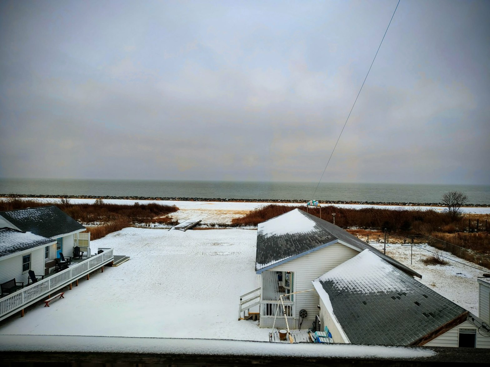
The National Weather Service Wakefield office is forecasting 6 to 12 inches of snow across southeastern Virginia and the Eastern Shore, though snow totals could vary dramatically over short distances. During the height of the storm Saturday night, blizzard conditions are possible, creating near-zero visibility and making travel incredibly dangerous or impossible.
Wind gusts Saturday night into Sunday morning are forecast to reach potentially damaging levels, especially along the coast and on the islands of the Chesapeake Bay. Strong winds combined with heavy snow will create dangerous blowing and drifting snow, with scattered to widespread power outages expected.
Extreme Cold: A Silent Killer
Perhaps the most insidious danger comes after the snow stops falling. Arctic air will plunge wind chills below zero area-wide, with some locations potentially experiencing wind chills well below zero from Saturday night through Tuesday.
“Exposure to cold is one of the biggest killers in winter storms,” officials emphasized. Frostbite will be possible on exposed skin within minutes, and anyone stranded outdoors faces a significant risk of hypothermia. These dangerous wind chills are expected to persist for several days, creating a prolonged period of potentially life-threatening cold.
Tidal Impacts: Minor Flooding Expected
Local officials have been monitoring tidal forecasts closely for Tangier. According to the NOAA National Weather Service Weather Prediction Center, the maximum high tide will occur Sunday morning at 11:30 a.m. The forecast at the Port Isobel tide gauge is 2.5 feet, significantly lower than the threshold of 3.25 feet for a Minor Flooding Event.
The National Weather Service Wakefield office noted that “with the strong winds coming out of the N/NW, we expect more flooding impacts to occur in the southern Bay where the water is being pushed by the wind.”
In short, the tidal prediction for Tangier Island is no major impacts expected. However, officials caution that while no forecast can predict the effects of ice jamming on tidal waters, residents who are concerned should prepare for potential tidal effects rather than respond after they occur.
The combination of any tidal flooding with extreme cold does create one additional hazard: any floodwater on roads or walkways will quickly freeze, creating dangerous icy surfaces.
Preparations
For Homes:
- Secure any outdoor items that could blow away in high winds
- Have flashlights, batteries, and backup lighting ready
- Ensure adequate heating fuel is available
- Keep cell phones and devices fully charged
- Have a battery-powered or hand-crank radio for weather updates
For Health and Safety:
- Have prescription medications on hand
- Stock first aid supplies
- Check on elderly neighbors before the storm
- Know the signs of frostbite and hypothermia
- Have emergency contact numbers readily available
For Pets and Livestock:
- Ensure animals have adequate shelter, dry bedding, and access to unfrozen water
- Provide extra feed—animals need more calories in extreme cold
- Bring pets indoors if possible
Staying Informed
The National Weather Service is updating forecasts regularly. Residents can access updates at weather.gov/akq or by monitoring NOAA Weather Radio for continuous updates.
If you have questions or unmet needs during the storm, contact Accomack County Emergency Management. The County EOC will be monitoring conditions throughout the event and coordinating response efforts with state and local partners.
