TANGIER, VIRGINIA – The residents experienced the fury of a powerful nor’easter that struck the East Coast on October 10-12, 2025. The storm, which developed off the Florida coast on Friday, October 10, rapidly intensified as it tracked northward, bringing dangerous conditions to coastal communities from the Carolinas to New England.
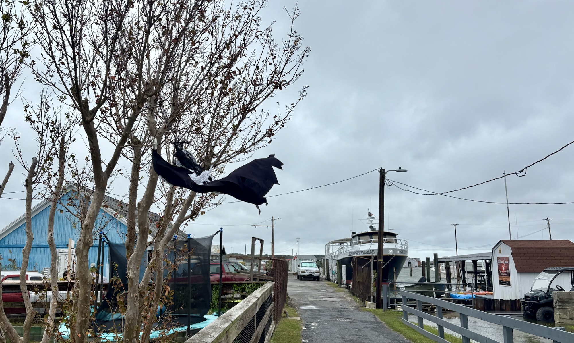
Tangier was hit with the worst of the nor’easter on Oct. 12. A gallery of photos from Oct. 11-12 appears below this article.
A Storm Without a Name, But Not Without Impact
Though unnamed, this mid-October nor’easter packed a serious punch. The storm system brought a combination of heavy rainfall, tropical storm-force wind gusts, and significant coastal flooding, prompting urgent warnings from emergency officials throughout Virginia. Local and state officials urged residents across Hampton Roads and the Eastern Shore to prepare for strong winds, heavy rain, and potentially dangerous flooding conditions.

Fierce Winds and Relentless Rain
As the nor’easter strengthened on Sunday while hugging the North Carolina coast, it unleashed powerful winds across Virginia’s coastal areas. The National Weather Service in Wakefield issued Wind Advisories warning of northeast winds of 25 to 30 mph with gusts up to 45 mph for Mathews, Gloucester, and York counties. The storm’s slow movement meant prolonged exposure to these harsh conditions, with impacts expected to continue into early next week.
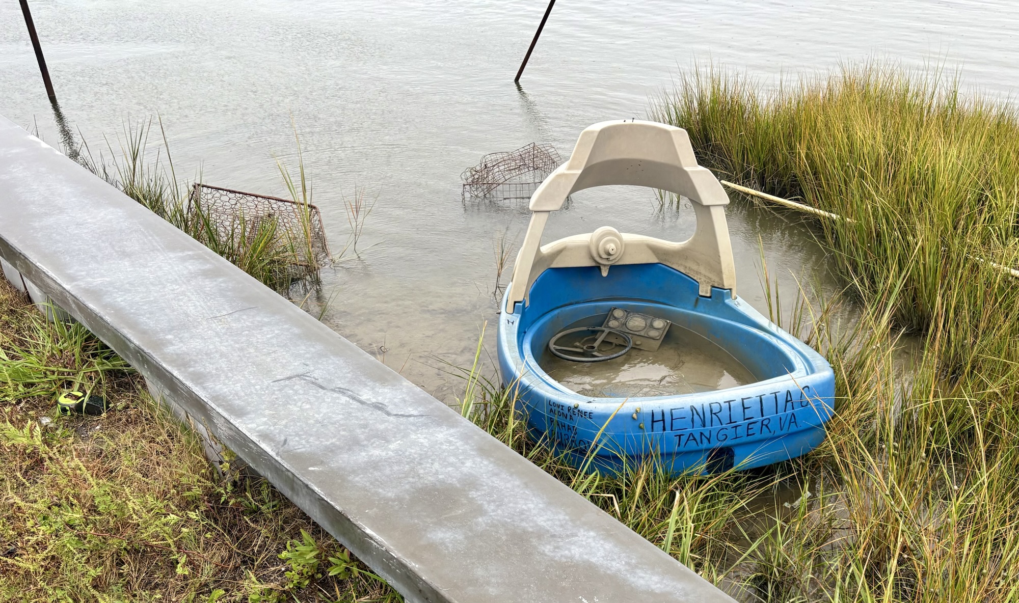
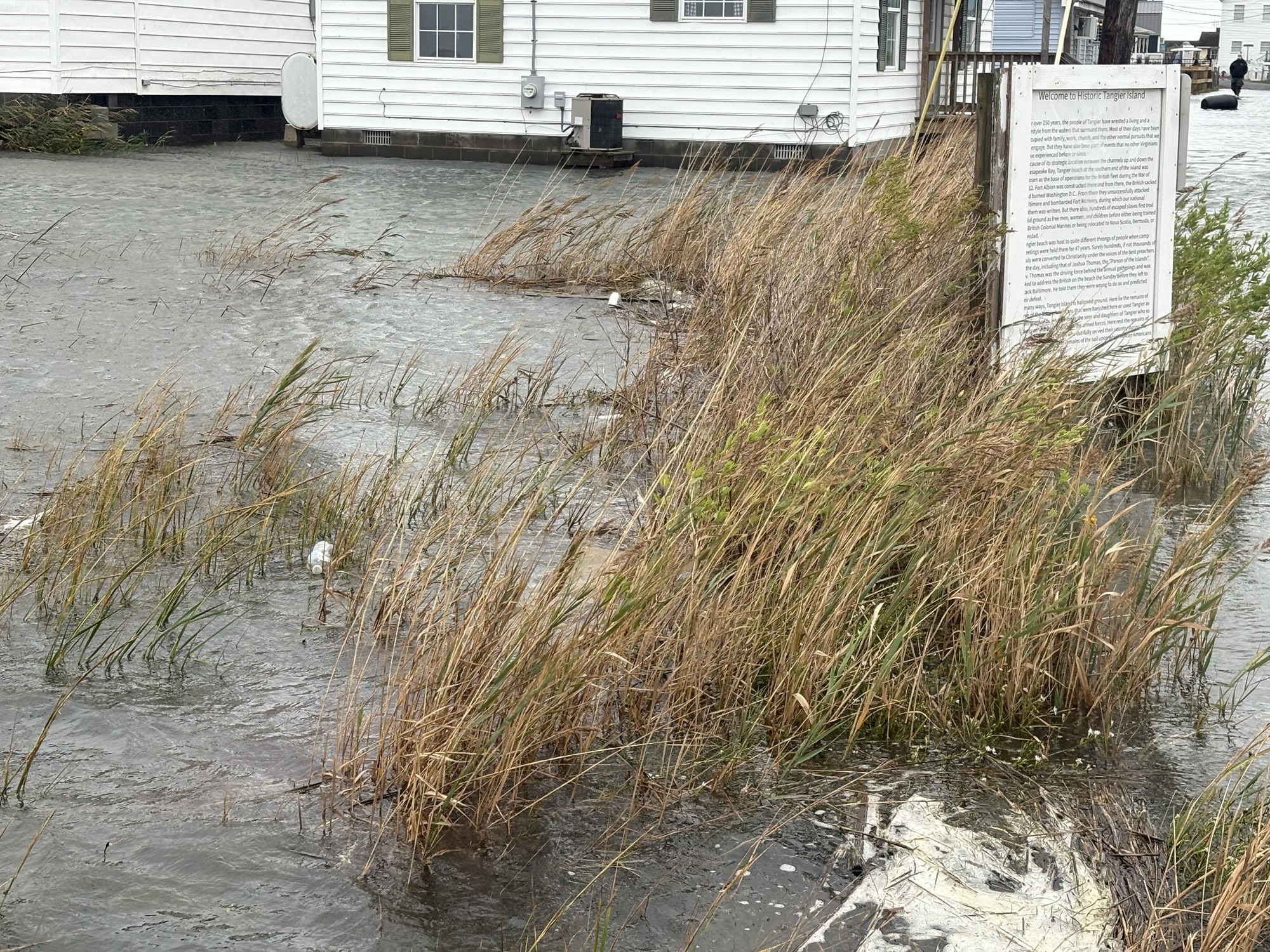
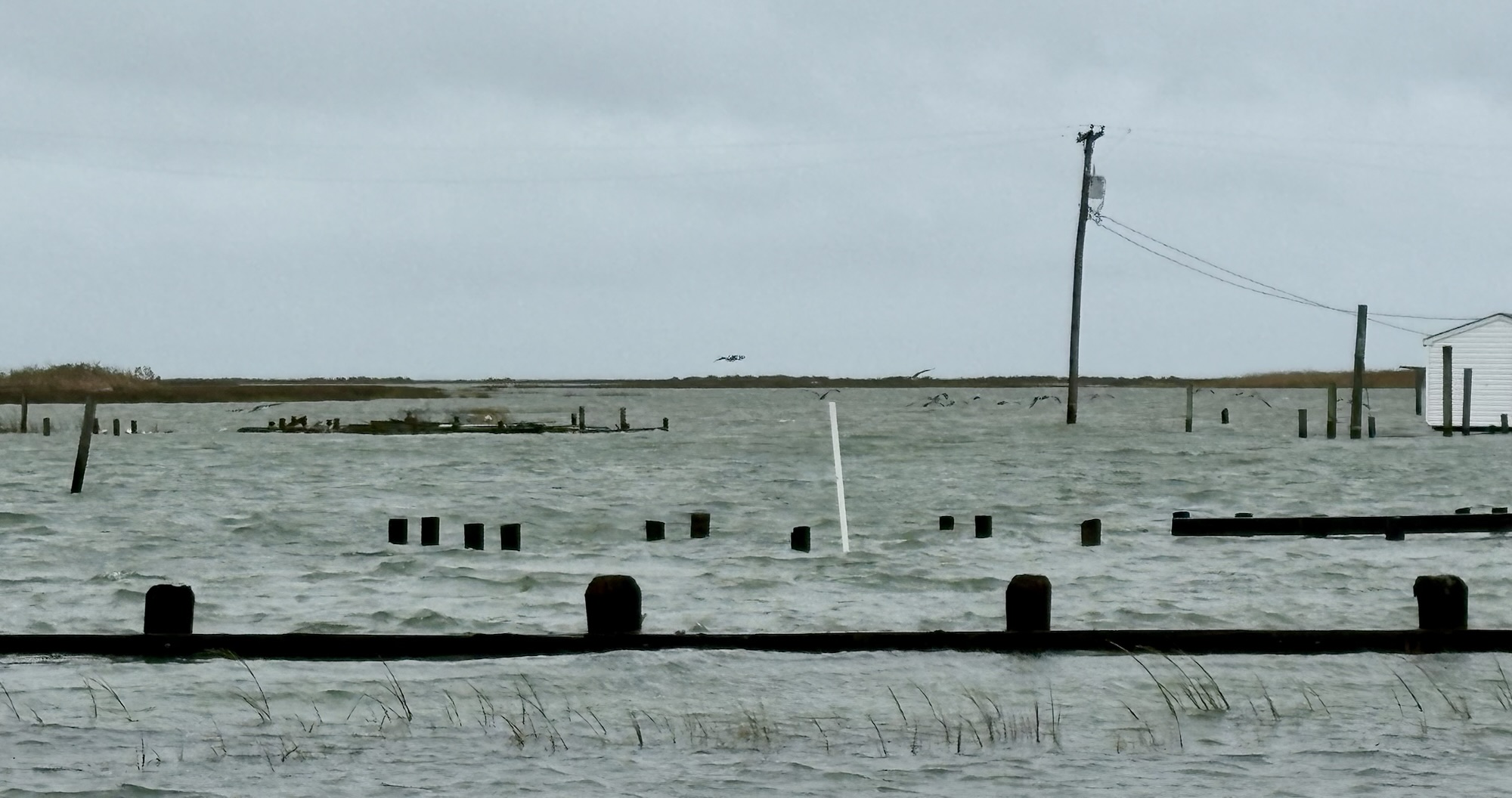
Larger birds – such as pelicans and herons – seemed to delight in gliding through the storm’s strong breezes along Tangier. Other birds ventured into residents’ flooded yards in search of food. Schools of small fish took advantage of the high waters, swimming in roadways and other areas they usually don’t have access to.
Rainfall totals were substantial across the region. Hampton Roads was forecast to receive 1½ to 2 inches of rain through Tuesday morning, while some areas near the North Carolina coast received up to half a foot. The persistent rainfall combined with the storm’s multi-day duration raised serious concerns about flooding throughout coastal Virginia.
Major Coastal Flooding Threat
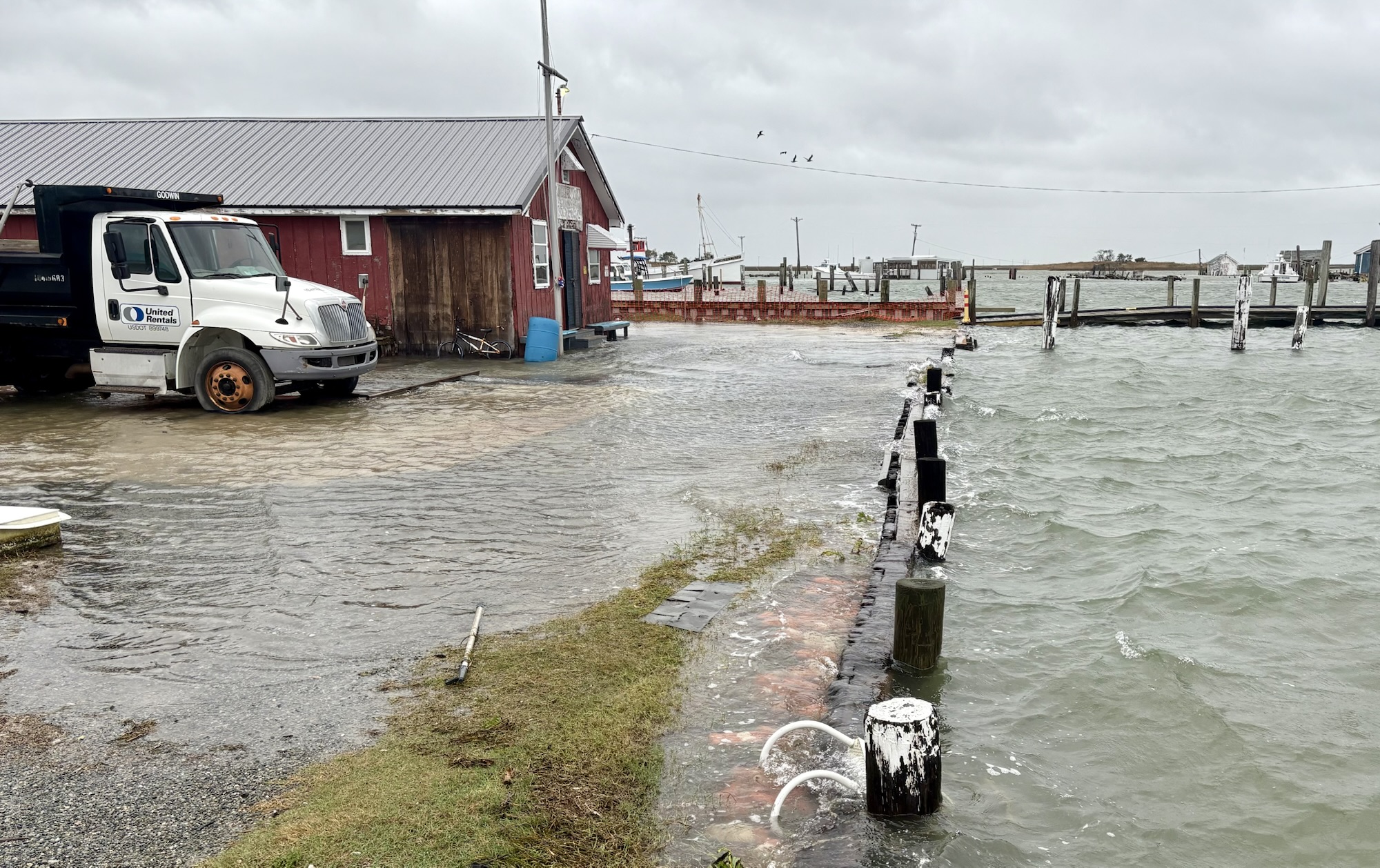
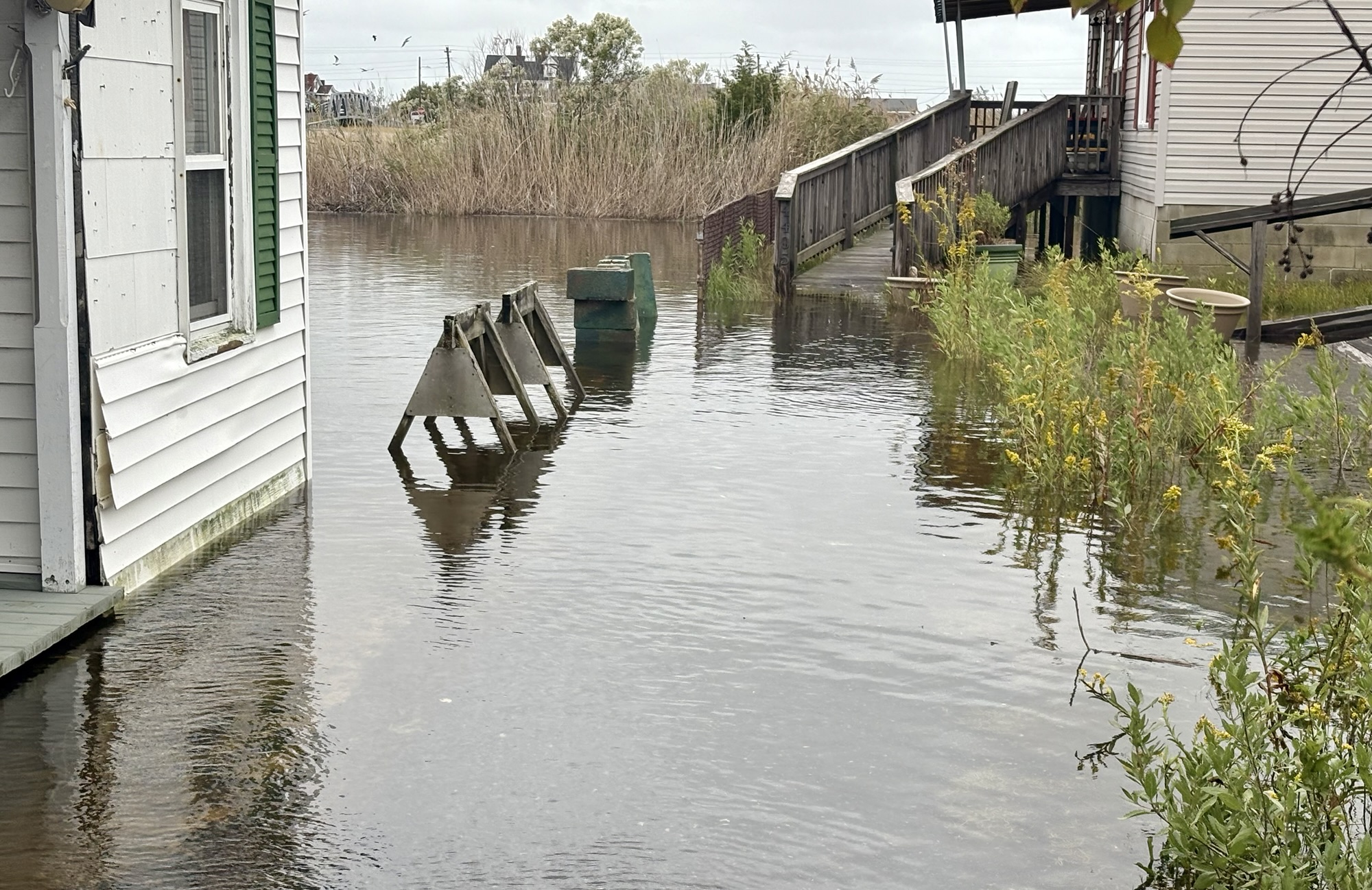
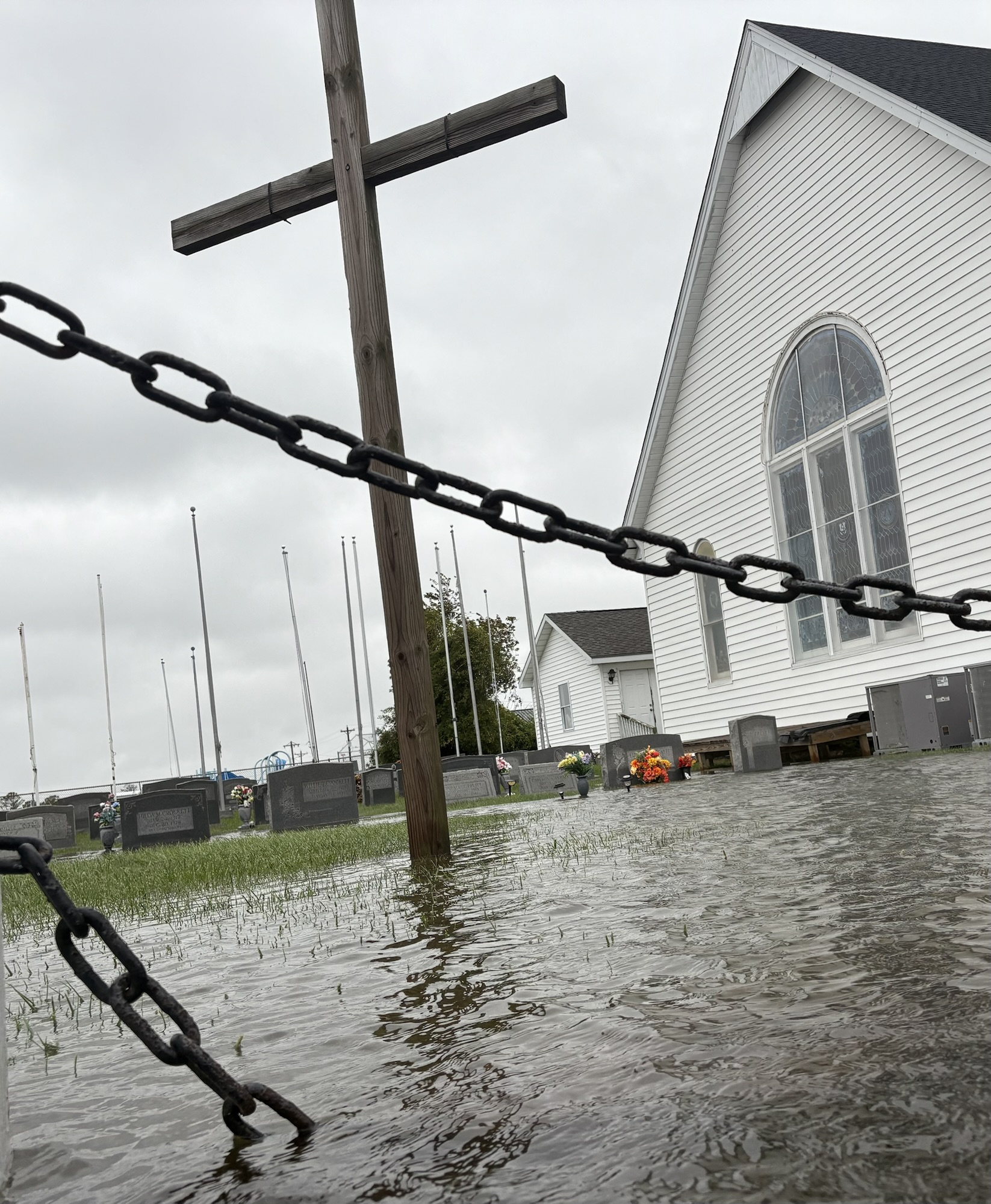
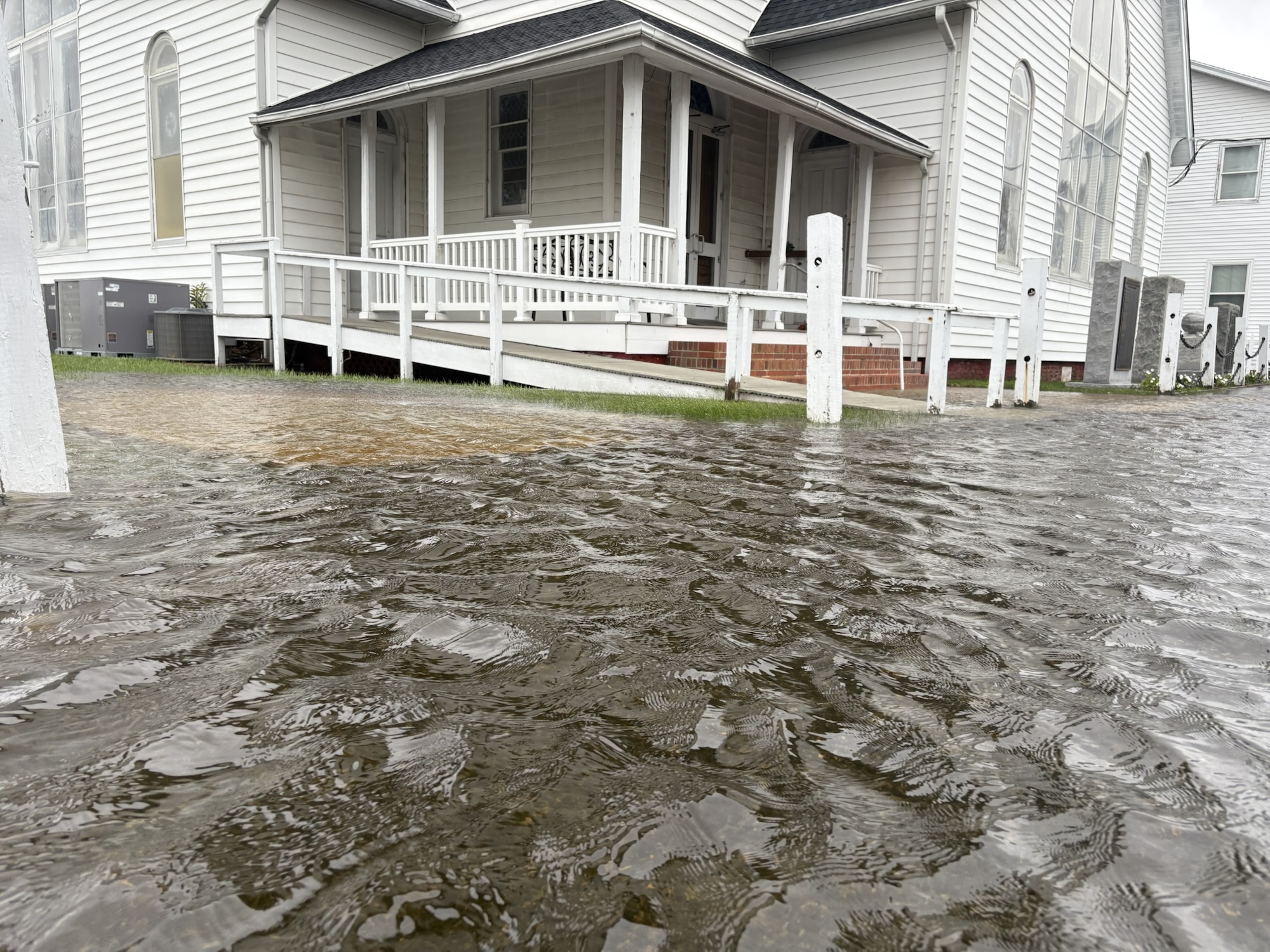
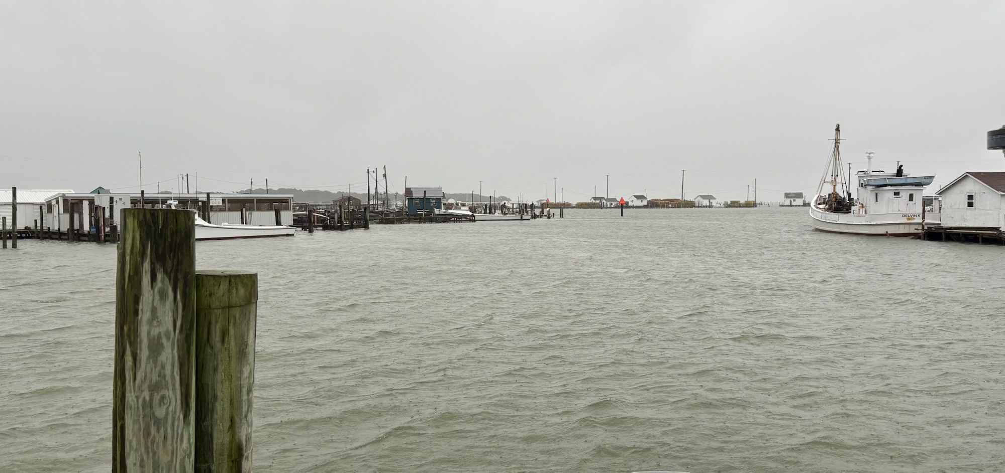
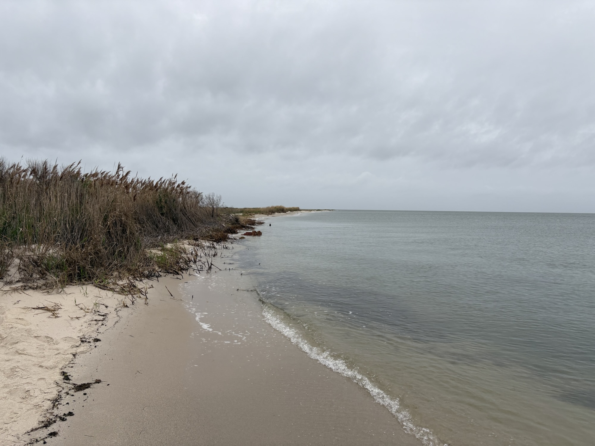
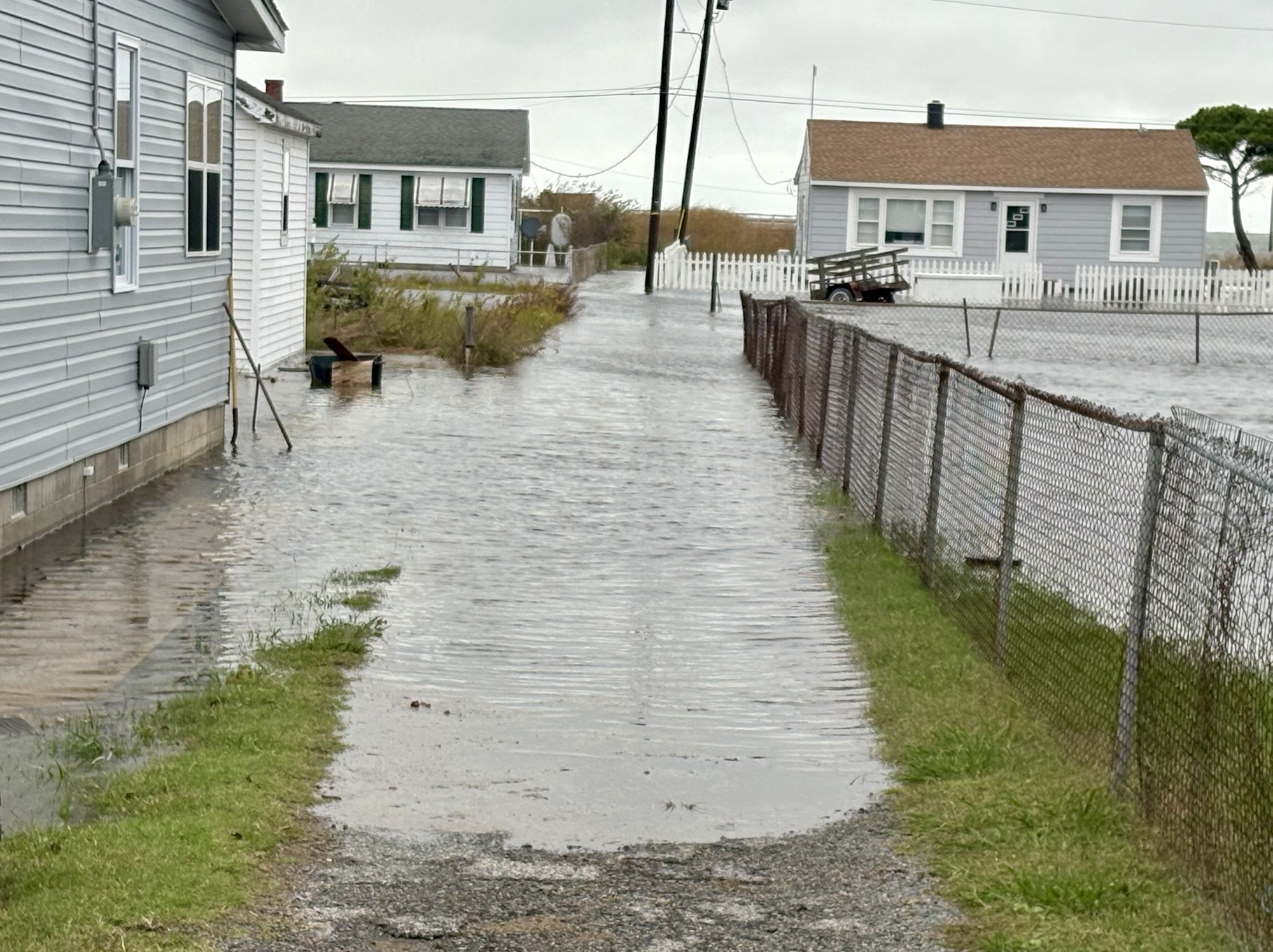
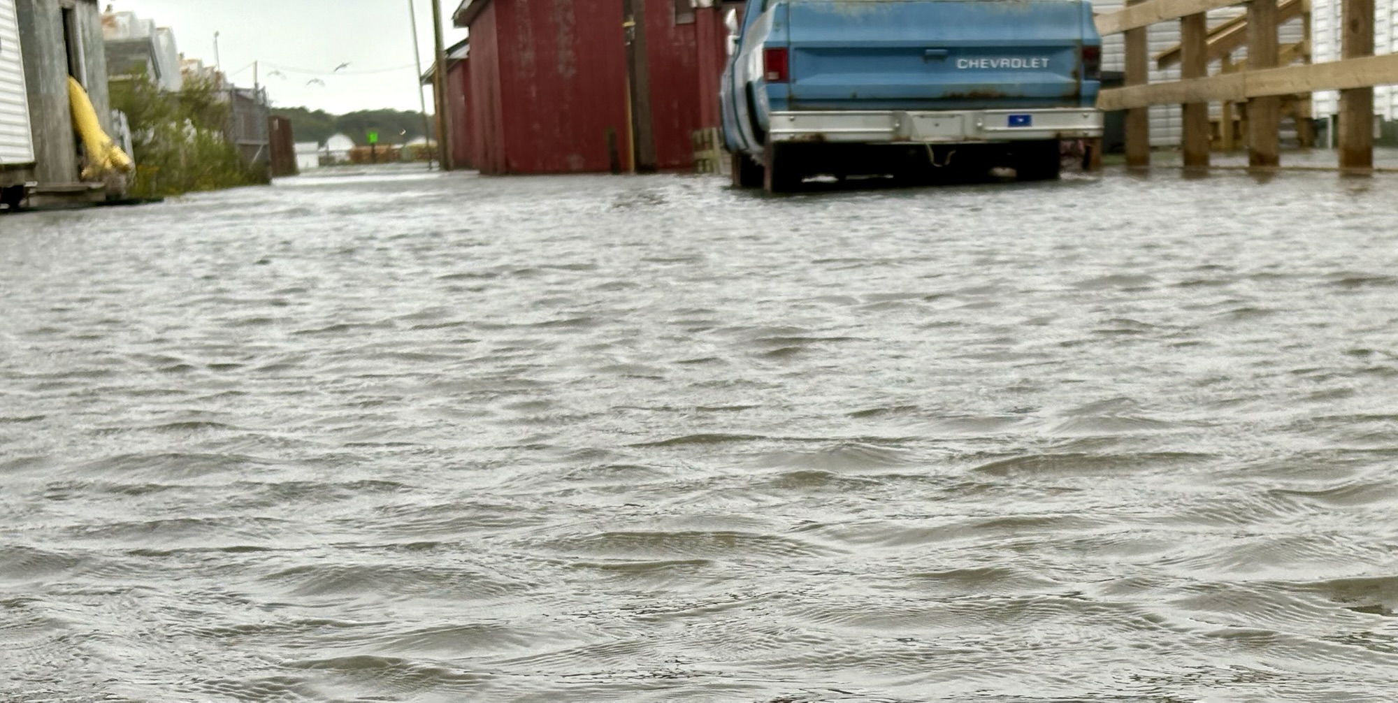
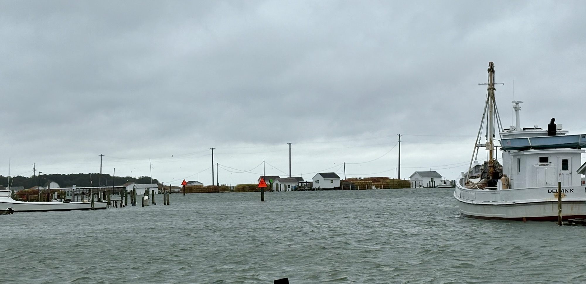
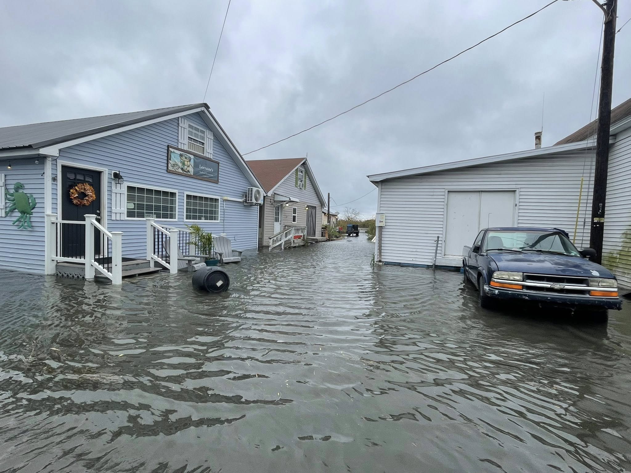
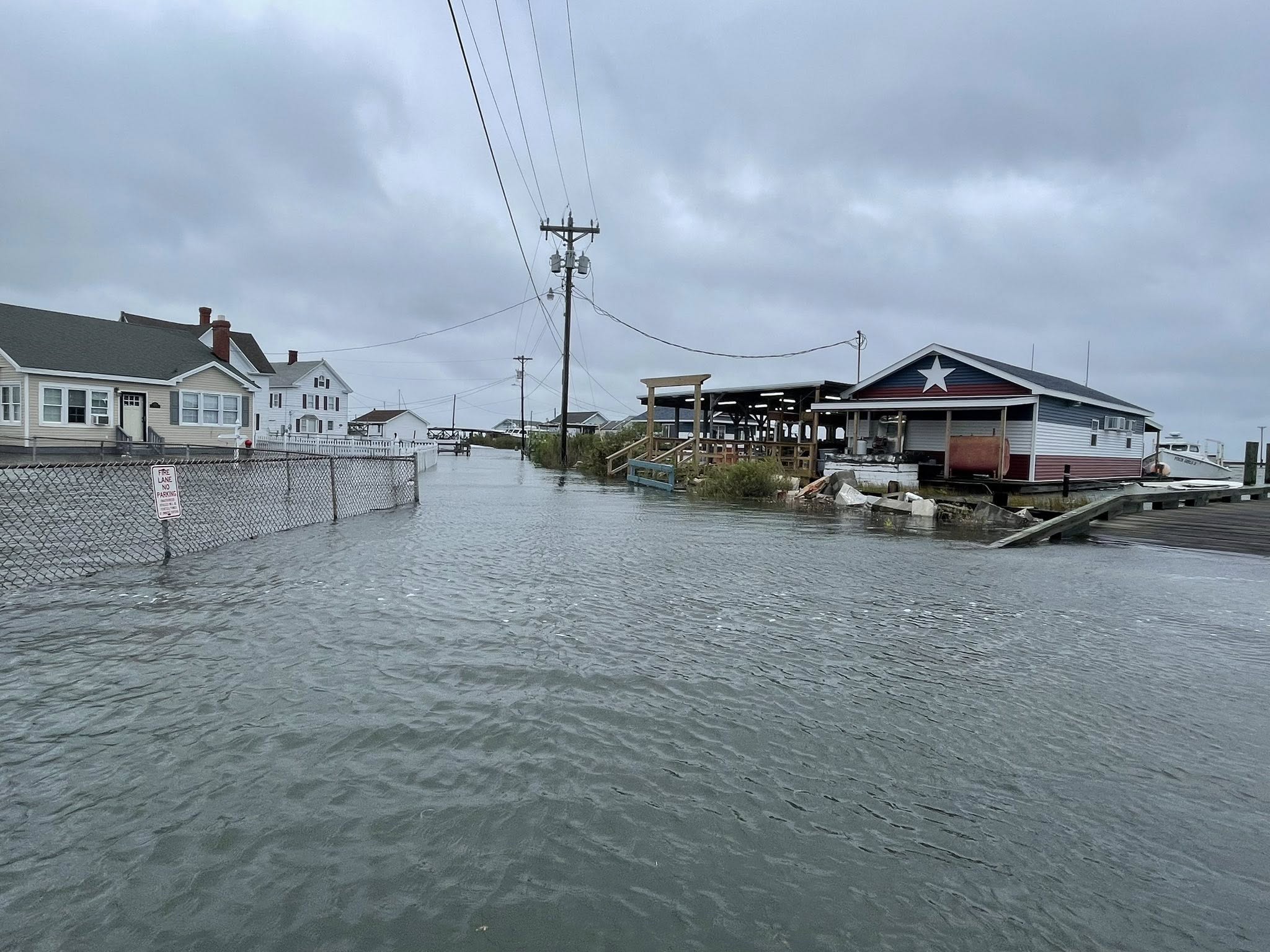
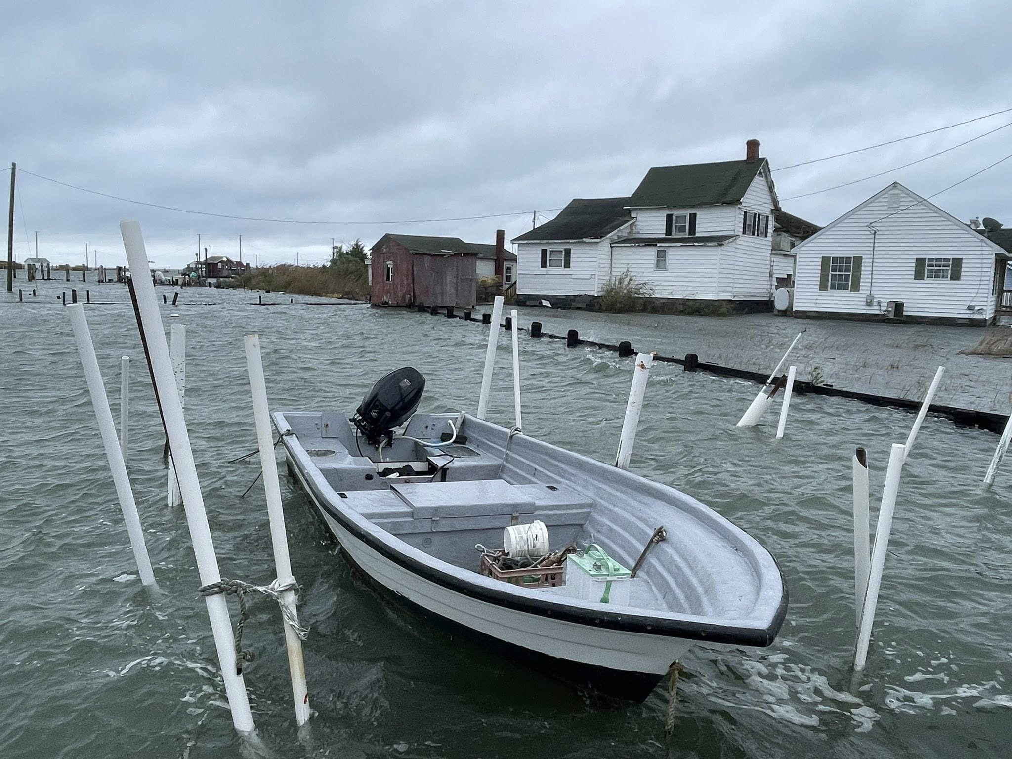
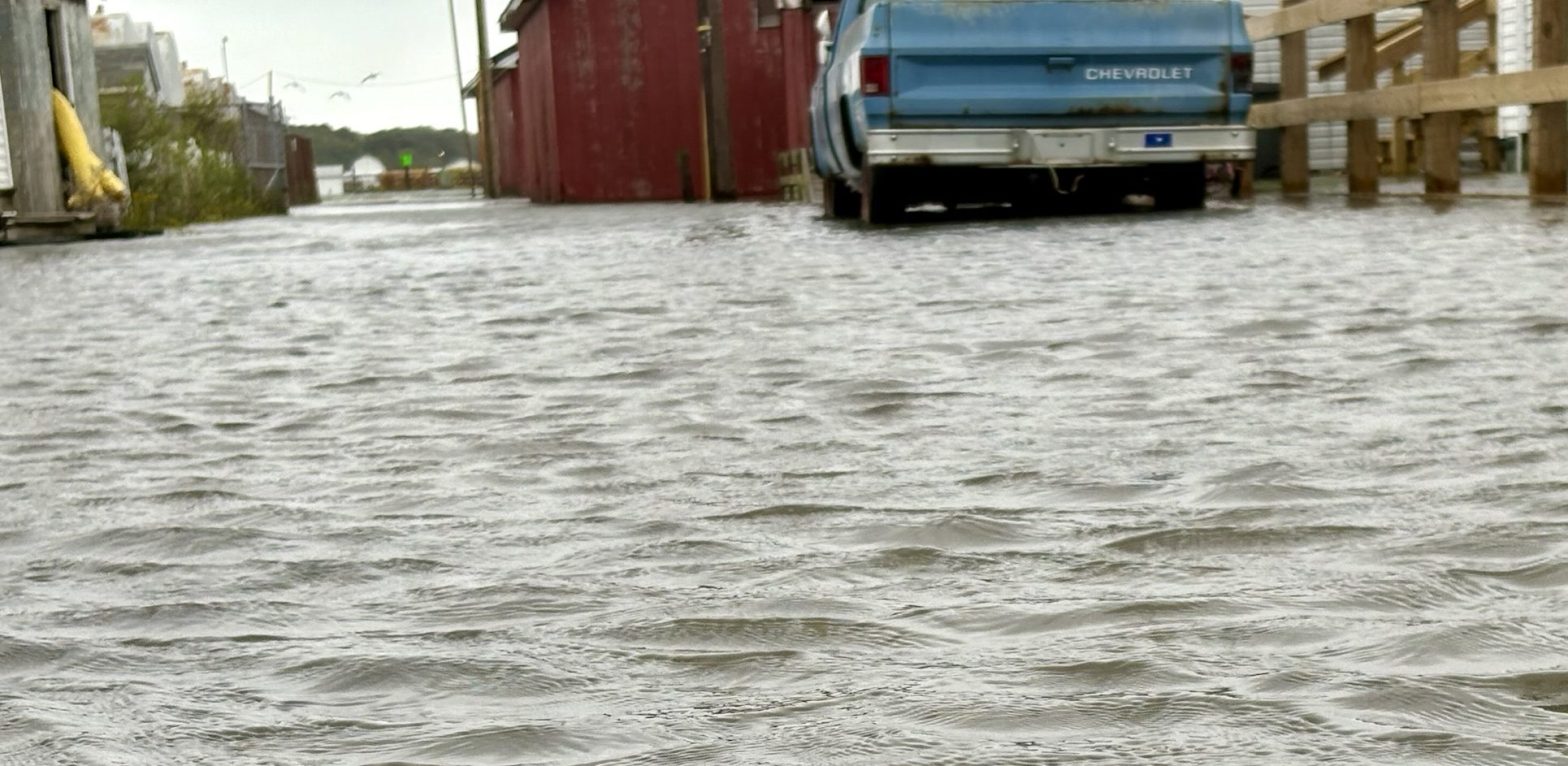
For island communities like Tangier, the storm’s most significant threat came from coastal flooding. The National Weather Service in Wakefield issued a Coastal Flood Warning effective from 10 PM Saturday evening through 9 AM Monday for Tangier and the surrounding areas.
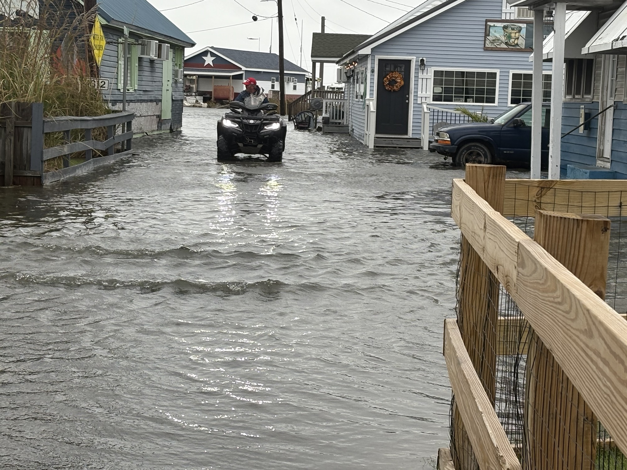
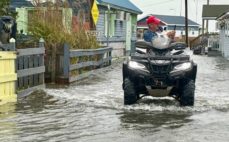
About an hour and half before high tide ended, Councilman Tommy Eskridge could be seen riding a four-wheeler around the island. Taking pictures of the flooding. He noted that he expected the water to rise more. Sure enough, as our website staff went back to their home, many areas that had a mild flooding, had more flooding.
The nor’easter drove turbulent seas and generated rough surf that made conditions dangerous for hundreds of miles of coastline. Hampton Roads faced “major” coastal flooding over the weekend, with the worst conditions anticipated Sunday evening. The combination of persistent onshore winds, heavy rainfall, high surf, and the storm’s timing with astronomical high tides created a perfect storm scenario for coastal inundation.
A Multi-Day Event
Unlike fast-moving storms, this nor’easter was forecast to impact the East Coast for several days, from Friday, October 10, through Tuesday, October 14. This prolonged duration meant that coastal communities endured several high tide cycles under stormy conditions, increasing the cumulative impact and the potential for damage.
For Tangier, this nor’easter served as another reminder of the challenges facing low-coastal areas. The storm’s impact provided yet another chapter in the island’s ongoing story of resilience in the face of nature’s power.